Minster Way
Distance - 45 miles (72 km)
Start - TA 038 393 - Beverley, E Yorksire
Finish - SE 603 522 - York, N Yorkshire
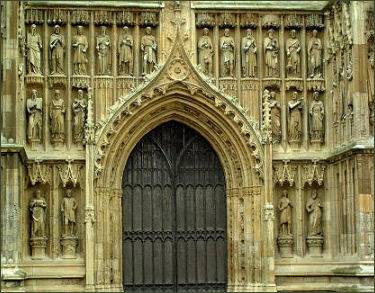
The Minster Way links the magnificent Minsters of Beverley and York, visiting Arram, Scorborough, North Dalton, Lockington, Millington, Great Givendale, Bishop Wilton, Full Sutton, Stamford Bridge, Kexby and Fulford. The route was originated in 1980, by Ray Wallis, of the East Yorkshire Area of the Ramblers' Association, and offers a good introduction to the East Yorkshire countryside, including the Yorkshire Wolds.

The trail crosses farmland from Beverley and the chalk hills of the beautiful Yorkshire Wolds. It follows the Yorkshire Wolds Way National Trail across Sylvan Dale before diverting to Millington, Bishop Wilton and Stamford Bridge. It then follows the River Derwent before the Plain of York is crossed on field and woodland paths to meet and follow the River Ouse to the centre of York. The trail is well signposted and waymarked.