Yorkshire Wolds Way National Trail
Distance -127 km (79 miles)
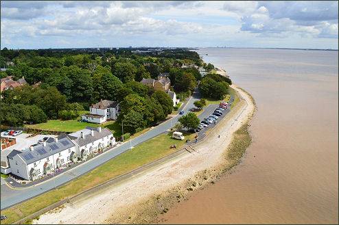
Start - TA 035 256 - Hessle, E. Yorkshire
Finish TA 126 817 - Filey Brigg, N Yorkire
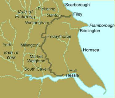
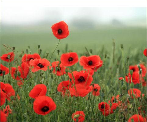
The Yorkshire Wolds Way National Trail runs for 79 miles from the Humber estuary to the dramatic Cleveland coast through the gentle chalk hills of the Yorkshire Wolds in typical downland scenery, with chalk grassland peppered with poppies, woodlands and dry valleys. The trail was originally an initiative of the Ramblers Association and went on to become the tenth National Trail launched by the then Countryside Commission. The walk is a mix of good paths and bridleways along with some quiet lanes, some through woodland but most in open countryside.
The Trail first travels west along the River Humber, then urns north around the western edge of the beautiful Yorkshire Wolds, in woods and across arable land through Thixendale, passing attractive villages and along the northern escarpment of the Wolds that rises to over 600 feet. It travels on ridges and through dry valleys and sheep pasture to reach the spectacular Yorkshire coast at Filey and the headland of Filey Brigg. At Filey it meets the Cleveland Way National Trail.
Hessle at the start of the Trail