Newton under Roseberry
OS grid reference:- SE 735 878
 The small and pretty village of Newton under Roseberry in the North York Moors National Park, is situated on the A173, between the village Great Ayton and Guisborough .
 Newton under Roseberry dates back to the early medieval era and was was once known as Newton-in-Cleveland.
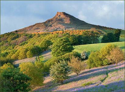
The village is close to the base of Roseberry Topping, an iconic hill which rises to a height of 1,049 feet (320 metres) is visible from many miles away. Its summit has a distinctive half-cone shape with a jagged cliff, which has led to comparisons with the much higher Matterhorn in Switzerland. It forms a symbolic image of the area and featured as the logo for the now defunct county of Cleveland.
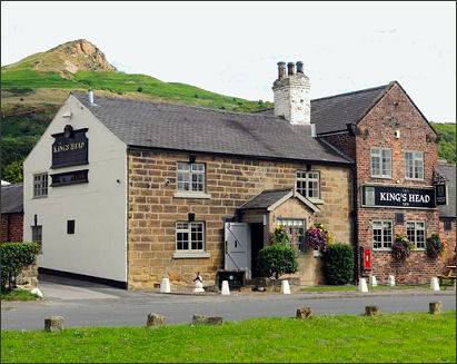
An ancient standing stone is located on the village green which is thought to be the remains of an avenue or stone circle. The charming vilage pub, the King's Head Inn (pictured above left) serves excellent food and offers accommodation.
St. Oswald's Church
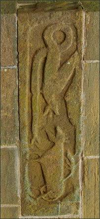
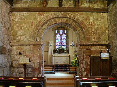
The village church, situated on Church Lane on the opposite side of the road to Roseberry Topping, is dedicated to St Oswald and is a Grade II listed building. Parts of the church date back to Norman times. The building features a superb Norman archway across the Chancel dating from the 1100s.There is also an Anglo-Saxon stone carving (pictured right) It depicts a dragon attacking what has been attacking as a horse, cow or panther. The stone was discovered beneath the floor during repairs in 1827. The chancel was rebuilt in 1827 and the Temple Moor tower added in 1901. A stone coffin was also found under the floor at the same time.
Roseberry Topping and the Interior of St. Oswald's Church


