Sutton Bank National Park Centre
OS grid reference:-
Vet and author James Herriot declared the superb view from the top of Sutton Bank over the Vale of Mowbray and the Vale of York, to be the "finest in England". Its also an official Dark Sky Discovery Site, one of three in the North York Moors.
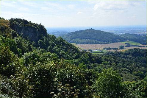
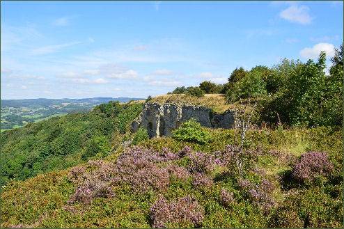
A high-tech Lime & Ice exhibition tells the story of how the iconic landscape and view came to be through the dramatic action of ice age glaciers. There is also an official tourist information centre. There are lots of other walking trails close by, including southwards to the popular White Horse of Kilburn. The 110-mile (177 km) long Cleveland Way National Trail crosses over Sutton Bank. It includes a spur to the White Horse of Kilburn.
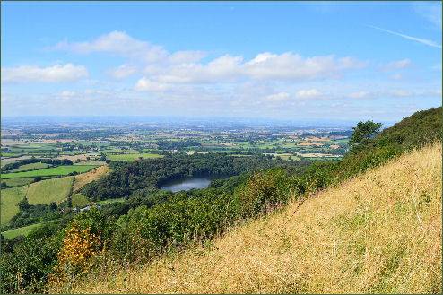
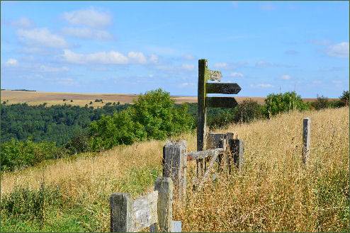
Family-friendly trails, and the existing bridleway and road network, offer fantastic cycling 'on top of the world', at Sutton Bank's stunning escarpment location. Our trails use a mixture of natural and man-made tracks, similar to those found in a purpose-built trail centre. the mountain biking trails available are:
- 'Cliff' - 3 mile green mostly level, circular off-road cycle trail for families that in part follows the famous cliff edge. The trail opened at the end of 2013
- 'Fort' - 9 mile blue trail with 361m ascent/descent (70% stone, 30% natural surface) runs out past the site of the Iron Age fort at Boltby Scar. A shorter loop of 6 miles avoids the ascent/descent and is suitable for families. The Fort route also includes part of the Cliff Trail along the cliff edge.
- 'Paradise' - 17-mile 'red' trail, making use of existing bridleways that have been upgraded but are shared with walkers and horse riders.
There's bike hire, plus a cycle shop, service centre and bike wash at Sutton Bank Bikes, located at the National Park Centre. They also offer bike maintenance courses and guided rides.
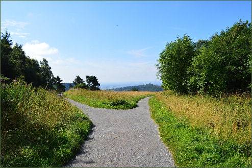
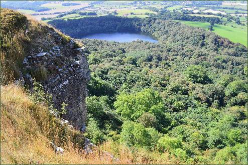
There's also a brand new fabulous play area outside, using natural landscape features to provide a place for adventure and fun for younger children. A tea room and a gift shop. Entry to the Centre is free.
Just to the south of Sutton Bank is Roulston Scar, the site of one of the most important prehistoric monuments in the region. A chance discovery led to a major archaeological investigation carried out jointly by the National Park Authority and English Heritage, this research revealed that the whole plateau at Roulston Scar was once occupied by a huge hillfort believed to date back to the Iron Age, around 400BC. The fort covered an area of 60 acres and was defended by a perimeter 1.3 miles long, this is the largest Iron Age fort of its kind in the north of England and one of the top 20 in size in the whole country. It was the approximate location of the attack of the Scots in a major victory Battle of Old Byland they defeated the forces of King Edward II and John of Brittany, Earl of Richmond.
