High Force
OS grid reference:- NY 880 283
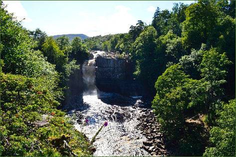
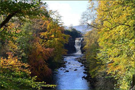 Undoubtedly one of the most spectacular waterfalls in England, impressive High Force is situated on the River Tees, near Middleton-in-Teesdale and lies within the North Pennines Area of Outstanding Natural Beauty (AONB).
The word Force in the waterfall's name derives, from the Old Norse word 'Foss'. This word is associated with waterfalls in the North of England.
From its rise as a trickle, high on the heather covered fells at the top of the North Pennines, to the top of the whin sill rock at Forest-in-Teesdale, the River Tees steadily grows and gathers pace, then it suddenly and spectacularly drops 21 metres into the plunge pool below. High Force boasts the largest volume of water falling over an unbroken drop of 71 feet (22 meters) when in full spate. The whole of the River Tees plunges over an almost vertical cliff edge in two stages. In harsh winters the falls freeze, creating cathedral-like ice formations.
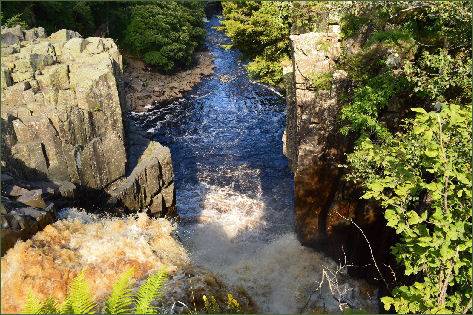
The gorge at High Force has been shaped by the action of water, from the torrential meltwaters released at the end of the last ice age, to today's River Tees. The hard rock of the Whin Sill forms a resistant lip over which the river plunges. Over thousands of years the water erodes away the softer sandstone and limestone lower in the cliff, undercutting the Whin Sill.
Other waterfalls have a longer fall, Cautley Spout, in the Howgill Fells, is almost 590 feet (180 metres) high, and Hardraw Force, in the Yorkshire Dales, has an unbroken drop of 98 feet (30 metres); whilst underground, on the flanks of Ingleborough, Fell Beck falls an unbroken 315 feet (96 metres) down the Jib Tunnel of Gaping Gill Hole.
The famous artist J. M. W. Turner visited High Force on 3 August 1816 to sketch the scene.
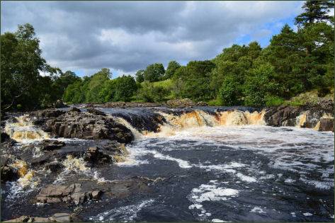
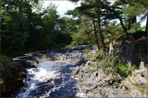
Access to the northern bank is via a private footpath for which a fee is charged. The southern bank can be reached free-of-charge via a public footpath. There is a well-maintained car park and picnic area, from which walkers can set off along many way marked routes.