Oulston
OS grid reference:- SE 547 748
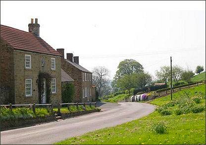
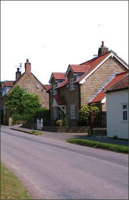
 The highly attractive village and unspoilt of Oulston, a conservation area, lies on the edge of the Howardian Hills Area of Outstanding Natural Beauty and is about three miles to the north-east of Easingwold. Oulston is situated in the upper part of a small valley running into the southern slopes of the Howardian Hills rising from the Vale of York.
The remains of a Roman villa have been discovered in the area, Oulston is located near the junction of two old Roman roads. Articles taken from the site are now on display at the York Museum.
 The name of the village possibly derives from the Anglo-Saxon Christian name Ulf combined with tun meaning habitation. Oulston is mentioned in the Domesday Book of 1086 were it is referred to as Uluestan, at the time of the Norman conquest , the lands were owned by Gospatric, son Arnketil. The lands became the property of King William the Conqueror, later they were granted to the Fauconberg family and from them they passed to the Wombwell family, who lived at the nearby Newburgh Priory Estate.
The pretty village green is surrounded by traditional stone cottages. The layout of Oulston has changed very little over the last four centuries. The green has a circular seat under a tree, while a ring of stones on the green marks where the old well once stood, this was once covered by a brick octagonal building which was demolished in the nineteen forties.
A former Wesleyan chapel in Oulston has been converted to the characterful village hall (pictured right) and is a Grade II listed building.
There are four sites in the area that are scheduled ancient monuments. They are:-
-
A round barrow 500m WNW of Pond Head Farm at grid reference SE56207470
- A round barrow 350m NW of Pond Head Farm at grid reference SE56377475
-
A section of cross ridge dyke and earthworks in Roman Plantation, Oulston Moor at grid ref SE56387489
-
A section of cross ridge dyke and hollow way 200m NW of Pond Head Farm at grid ref SE56447472
