Starbotton
OS grid reference:- SD 953 747
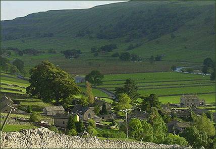 Starbotton, located in stunning Upper Wharfedale, is a small, pretty village of much character.
Picturesquely situated on the banks of the River Wharfe, Starbotton consists of around 70 houses, the majority of which are used as holiday accommodation and two working farms, one at either end of the village.
The village is located and half way between Kettlewell and Buckden and on the opposite bank of the River Wharfe to the Dales Way, an 84 mile long distance footpath which stretches from Ilkley in West Yorkshire to Bowness-on-Windermere in Cumbria.
 The derivation of the village's name is the subject of much debate, it is believed to have derived from "Stamphotne", as it is recorded in the Domesday Book of 1086 or "Stauerboten"
from the twelfth Century Old English word "stæfer" replacing the Old Norse "stafn" in the first form and meaning "the place where stakes are got".
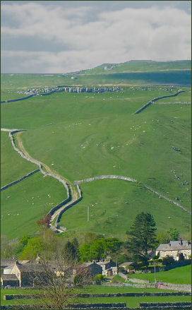
There has been human habitation of this part of Wharfedale since at least the Iron Age era. The area is criss-crossed with old pack horse trails surviving from the time when the great monasteries such as Fountains Abbey, Jervaulx and Rievaulx traded wool and other goods across this part of the Pennines.
Starbotton has a Quaker burial ground, which was acquired by 1720 and was restored as a Millennium Project. The building at Bridge House served as a meeting house and has been restored, now in the ownership of the national trust, it is rented as a holiday cottage.
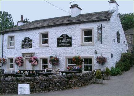 Tourism is an important part of the economy in the Starbotton area. The village inn, the Fox and Hounds (pictured left) is a traditional family run pub which serves cask ales and home cooked fine food. The pub also offers en-suite accommodation. The four hundred year old pub is bursting with character with stone flagged floors through out and a roaring open fire at the heart of the building. There is also an outdoor patio area at the front of the pub.
Footpaths from the village lead to to the summit of Buckden Pike and on to Walden, down the river to the attractive Dales village of Kettlewell, up the river to Buckden, over the top to Arncliffe and over to Coverdale (via Cam Road). Cam Road is a green lane and has been closed to motor vehicles by the Yorkshire Dales National Park Authority as part of an experiment to reverse damage caused by off-roaders.
Other interesting features include the Smelt Flue leading up from the back of the village to the Smelt Chimney above Cam Gill. This is a remnant of the Smeltmill. It is still possible to crawl through parts of the flue as it climbs up the hillside. This was once the principal job for children at the mill - to collect the white lead oxide from the sides of the flue. Hence the number of very young people buried in the churchyard at Kettlewell in the eighteenth and nineteenth centuries.
A major disaster struck the village in June 1686 when a heavy rainstorm caused a flash flood, resulted in much of the village being swept away. This occurred only shortly after the rebuilding of the village had started - the earliest dated building being from 1621. Those not damaged beyond repair were restored and new ones built in the late seventeenth century.
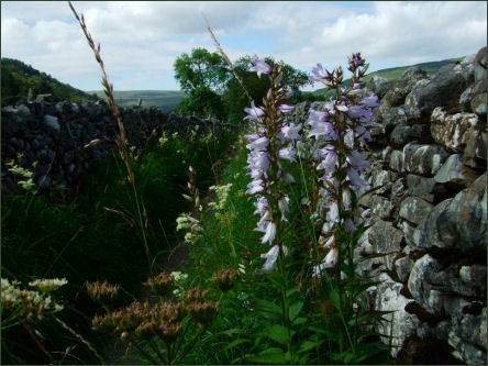
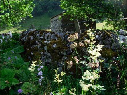

Images courtesy of Paul Johnson
Towns and Villages of Yorkshire
