Clapham
OS grid reference:- SD 745 694
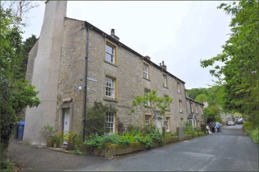
The picturesque village of Clapham in the Craven district of North Yorkshire, lies 6 miles (10 km) to the north-west of Settle and at the base of Ingleborough, one of Yorkshire's 'Three Peaks'.
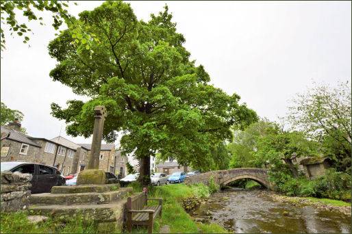
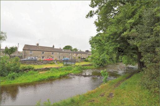
Clapham Beck runs through the village, fed from Fell Beck which finds it source on the steep slopes of Ingleborough and descends into Gaping Gill, England's highest waterfall, where Fell Beck drops 110 metres into a pothole, and emerges via Ingleborough Cave into Clapham Beck. The beck feeds into the River Lune via the River Wenning. The beck is crossed by four bridges in the village. Clapham Falls (pictured right) are situated in the north of the village, just after Clapham Lake and are clearly visible from the road from Clapham to Ingleborough via Ingleborough Cave and Trow Gill. There are further smaller falls along the beck.
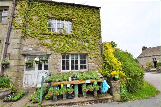
Clapham has a village hall, the New Inn pub (pictured below left) which dates to the eighteenth century and became a coaching inn in 1745, the pub serves good food and offers accomodation. There is also a shop and post office, a small number of businesses, guest houses, and an outdoor education centre.
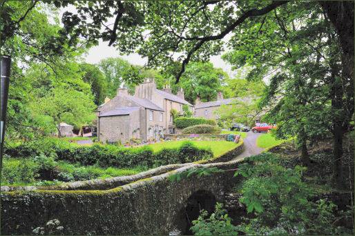
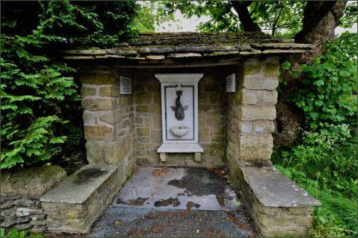
The village was originally a Viking settlement held by Thorfin of Ravensworth. Clapham and its church were burned during a Scottish raid by the soldiers of Robert the Bruce following the Scots victory over the forces of Edward II at the Battle of Bannockburn in 1314. The tower of the village church of St. James was possibly constructed after this incident, but the remainder of the church dates from the nineteenth century. A church has occupied the site since Norman times and is referred to in records dating back to 1160.
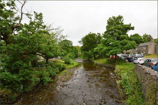
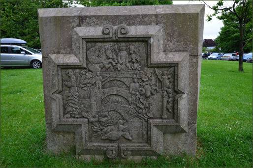
In the fourteenth century John de Clapham, who derived his surname from the village, was a supporter of the Earl of Warwick and lived at Clapdale Castle. His descendants supported the House of Lancaster during the Wars of the Roses.
Since the eighteenth century Clapham has been the home of the Farrer family who established their Ingleborough estate. The family owns much of the land, woods, fields and moors of the village, and many of the surrounding farms. Electricity has been generated on the Ingleborough estate since 1893. There is an operating water turbine-powered generator at the top of the village next to the waterfall which was installed in 1948.
From the village, a Nature Trail passes through beautiful lakeside woodland to the Ingleborough Show Cave. A spectacular floodlit cave which features stalactites & stalagmites up to 350 million years old and is considered to be the best showcave in Britain. The path leads on from the cave into woodland and by the lakeside where Reginald Farrer (1880-1920), the famous botanist, introduced plants into Europe from the Far East over a hundred years agp, including Himalayan Rhododendron, bamboo and other unusual plants. Nearby Trow Ghyll is a spectacular ravine created by melt waters in the Ice Age. In August 1947 the Trow Ghyll skeleton was discovered in a cave above the village by potholers Jim Leach and Harold Budge. The story surrounding it is one of the macabre mysteries of the Yorkshire Dales and is unlikely ever to be solved.
Clapham Falls
Clapham Falls (OS grid ref- SD746694) are situated on the River Wenning on the north of the village and are located just after Clapham Lake. They can be clearly seen from the road leaving Clapham for Ingleborough. A man made waterfall which sees Clapham Beck drop below a bridge, in separate three tiers, the waterfall was constructed in 1837 by Oliver and James William Farrar.
Images courtesy of Paul Johnson
Towns and Villages of Yorkshire
