Pen-y-Ghent
OS grid reference:- SD 838 733
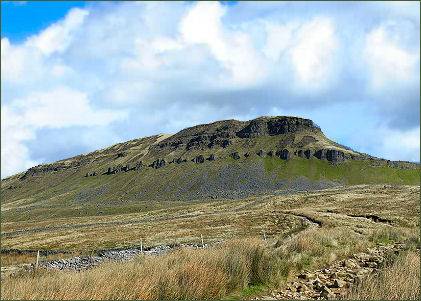
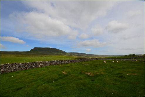
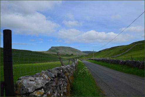
Pen-y-ghent or Penyghent stands at a height of 2,277 feet (694 metres) and is one of the famous Yorkshire Three Peaks, the other two being Ingleborough and Whernside.
The name derives from the In the Old Celtic Cumbric language, once spoken widely in these parts, in Cumbric, as in modern day Welsh, Pen meant 'top' or 'head', and y is most likely 'the', precisely as in Modern Welsh. These elements are often used in placenames in Wales, ghent, although more obscure, could mean be 'edge' or 'border', therefore mean 'Hill on the border'. Alternatively, ghent could mean 'wind' or 'winds' - from the closest Welsh gwynt.
Routes to the Summit
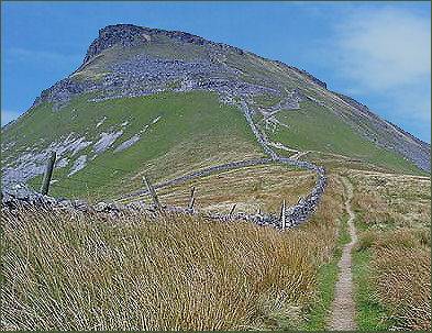
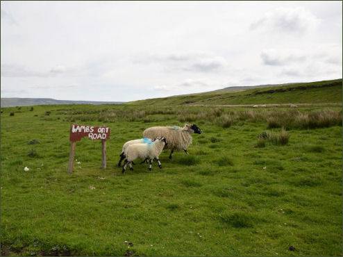
The Pennine Way links the summit of Pen-y-Ghent to the village of Horton in Ribblesdale, the walk is around 3 miles (5 kilometres) in length as the track curves to the north before turning to the east to reach the summit.
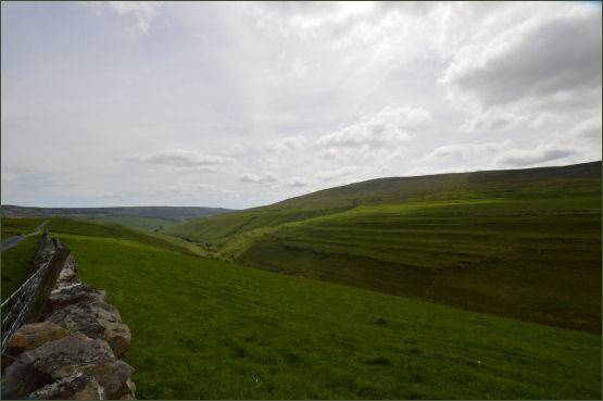
The more direct route traverses the southern edge of the hill and is usually taken by those attempting The Yorkshire Three Peaks Challenge, as the walk is most often done in an anti-clockwise direction starting and finishing in Horton in Ribblesdale. The other main hillwalking route on the hill heads north from the summit to reach Plover Hill before descending to join the Foxup Road bridleway.