Long Preston
OS grid reference:-SD 835 585
The attractive village of Long Preston is situated in the Craven district on the southern edge of the Yorkshire Dales National Park and lies 12 miles (19 km) from Skipton and 4 miles (6 km) from Settle. Its location renders it is a good base for exploring the Trough of Bowland and Ribble valley and the Dales to the north.
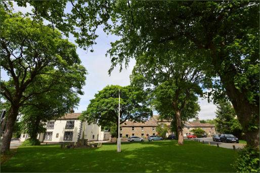
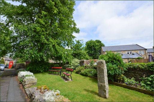
In the Domesday Survey of 1086, Long Preston is referred to as Prestune, meaning "the priest's farmstead or town". Later "Long" was added, referring to its linear development and distinguishing it from the many other Prestons in Britain. Surviving croft lands surrounding the village can be traced back to Domesday. The Domesday Survey mentions that Ulf had 3 carcates for geld, and one church, Roger the Poitevin had 3 carucates. Roger forfeited the lands in 1102.
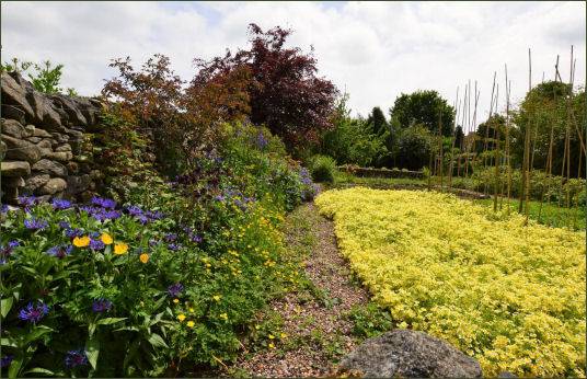
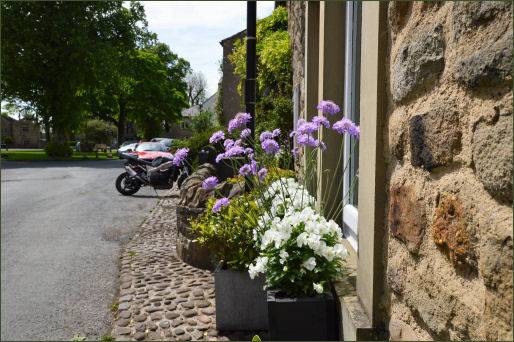
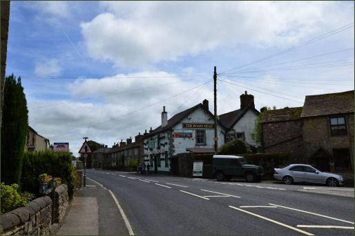
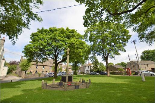
Long Preston boasts several large, tree lined, village greens, with footpaths leading direct to the surrounding hills. The has two pubs The Boar's Head, on Main Street, a characterful Dales Country Inn which dates back to the eighteenth century and The Maypole Inn by the Maypole Green, which first opened in 1695, both of which provide accommodation. The village has a railway station on the Airedale line, just below the Settle-Carlisle run that is undoubtedly one of the most beautiful train journeys in Britain.
St Mary's Church
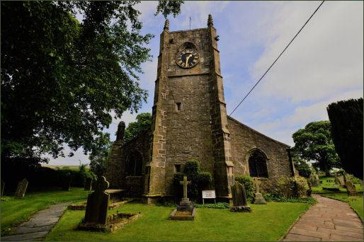
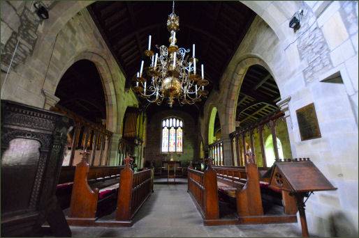
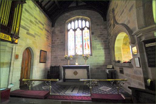
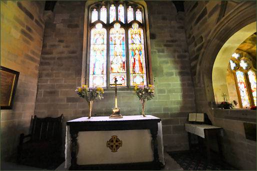
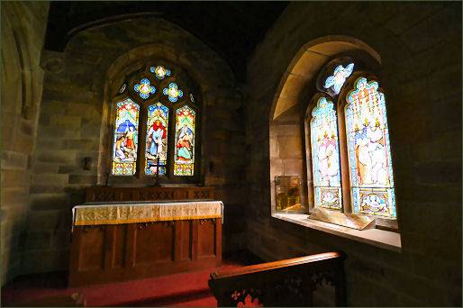
The village church of St. Mary's, a Grade I listed building, dates back to the late fourteenth/early fifteenth century although a church has occupied the site since Saxon times. Alterations were carried out in the nineteenth and early twentieth century. The building is an intriguing mix of architectural styles as it has been extended and adapted over the centuries. The church has a west tower, a nave with aisles, and a chancel that was rebuilt in 1868
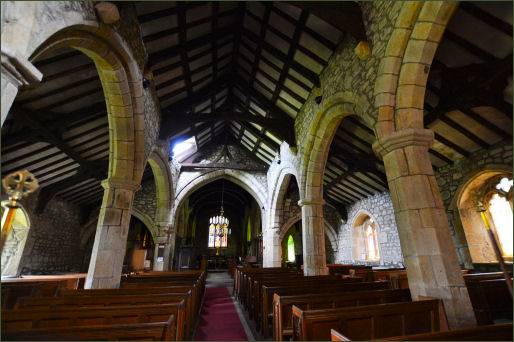
Some of the most impressive features of St Mary's are its eighteenth century pipe organ, an exquisite seventeenth century pulpit and a beautiful black-and-white roof. The unusual circular font has a very tall, tapering bowl. and probably dates back to the Norman era, although it may possibly be even older.
The churchyard is adjacent to two Roman forts, one inside the other and associated with the Roman road running up from Ribblesdale to Ribchester.
Images courtesy of Paul Johnson
Towns and Villages of Yorkshire
